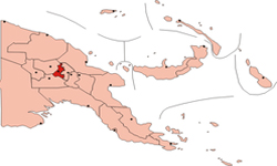
Jiwaka is a province of Papua New Guinea. The provincial capital is yet to be decided. In the mean time all provincial matters are handled in Banz.[1] The province covers an area of 4,798 km²,[2] and there are 341,928 inhabitants (2010 census provisional figures[3]—2000 census 185,641). Jiwaka province officially came into being on 17 May 2012,[4] comprising three districts [5][6]previously part of Western Highlands Province. Mount Wilhelm, the tallest mountain in Papua New Guinea, is on the border of Jiwaka.
"Jiwaka" is a portmanteau word combining the first two letters each of Jimi, Wahgi and Kambia. The inclusion of the Anglimp Rural LLG in Jiwaka was controversial,[7] and will be reviewed after the 2012 General Election.
Districts and LLGs
Each province in Papua New Guinea has one or more districts, and each district has one or more Local Level Government (LLG) areas. For census purposes, the LLG areas are subdivided into wards and those into census units.